MAKE A MEME
View Large Image
| View Original: | Chesapeake and Ohio Canal 9 Mile level between 33 and 34 mile marker looking upstream.jpg (3648x2736) | |||
| Download: | Original | Medium | Small | Thumb |
| Courtesy of: | commons.wikimedia.org | More Like This | ||
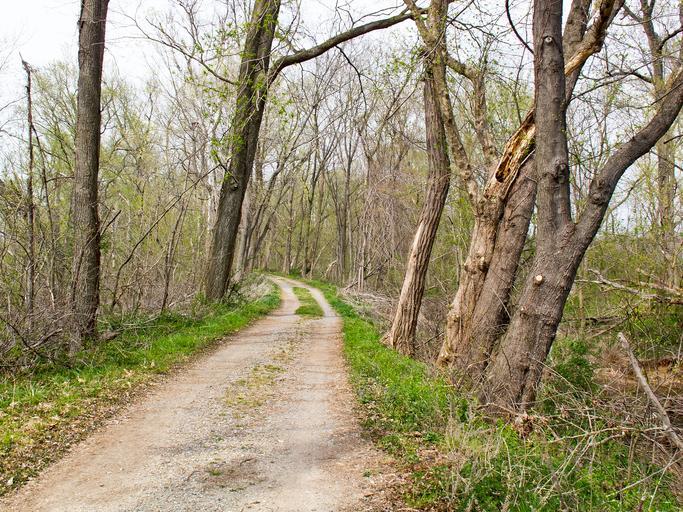
| Keywords: Chesapeake and Ohio Canal 9 Mile level between 33 and 34 mile marker looking upstream.jpg en The Chesapeake and Ohio Canal the 9 mile level between Edwards Ferry and Lock 26 Wood's lock somewhere between miles 33 and 34 on the towpath own Bonnachoven Chesapeake Ohio Canal National Historical Park Cc-zero | ||||