MAKE A MEME
View Large Image
| View Original: | Cattlegate Flood Relief Channel.JPG (2304x1728) | |||
| Download: | Original | Medium | Small | Thumb |
| Courtesy of: | commons.wikimedia.org | More Like This | ||
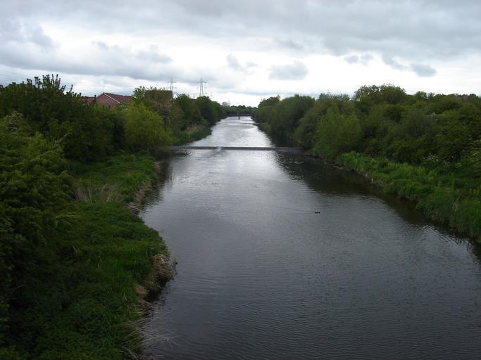
| Keywords: Cattlegate Flood Relief Channel.JPG River Lee Flood Relief Channel is known as the Cattlegate Flood Relief Channel at this point The channel forms the eastern boundary of the the Enfield Village Island development which can be partially seen to the left of the photo Sewardstone Marsh is pictured on the right own Northmetpit 2010-5-8 River Lea Enfield Island Village | ||||