MAKE A MEME
View Large Image
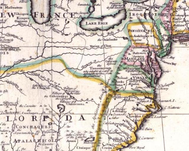
| View Original: | Carte_Nouvelle-france_et_13_colonies_en_1710.jpg (500x400) | |||
| Download: | Original | Medium | Small | Thumb |
| Courtesy of: | commons.wikimedia.org | More Like This | ||
| Keywords: Carte Nouvelle-france et 13 colonies en 1710.jpg Carte partielle de l'Amérique du Nord en Wikipedia anglophone 1710 author Domaine public PD-old-100 Maps showing history of indigenous peoples of North America Shawnee | ||||