MAKE A MEME
View Large Image
| View Original: | Carte des meurtres de 1888 à 1891 à Whitechapel (Londres).jpg (1754x1239) | |||
| Download: | Original | Medium | Small | Thumb |
| Courtesy of: | commons.wikimedia.org | More Like This | ||
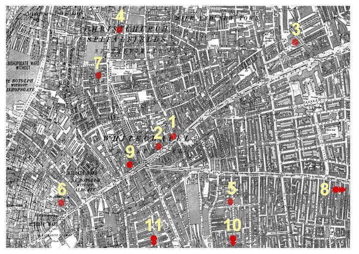
| Keywords: Carte des meurtres de 1888 à 1891 à Whitechapel (Londres).jpg fr Carte des meurtres ayant eu lieu entre le 3 avril 1888 et le 13 février 1891à Whitechapel comportant 11 points rouges numérotés 2015-07-09 1894 Ordnance Survey Map of Whitechapel downloaded from http //www casebook org/official_documents/map/images/ord_map_full jpg Cropped and annotated with eleven red dots to show the location of seven murders attributed to Jack the Ripper Ordnance Survey; modified by User ΑΩ ; modified by Utilisateur Crijam other versions cc-zero Uploaded with UploadWizard Jack the Ripper Ordnance Survey 2nd edition | ||||
.jpg)