MAKE A MEME
View Large Image
| View Original: | Cartagena_in_the_18th_century.png (413x281) | |||
| Download: | Original | Medium | Small | Thumb |
| Courtesy of: | commons.wikimedia.org | More Like This | ||
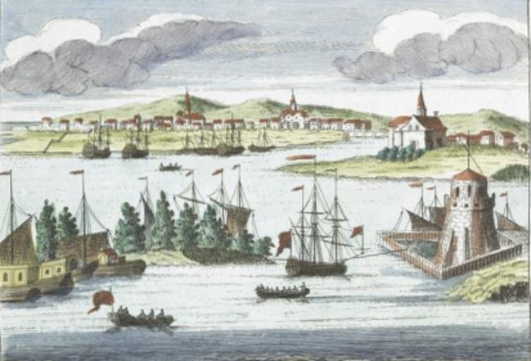
| Keywords: Cartagena in the 18th century.png Cartagena ” in Matanzas Province Spanish colonial period in Cuba Spanish colonial Cuba In an 18th century print A_new_and_correct_map_of_the_trading_part_of_the_West_Indies png 2011-03-03 17 41 UTC A_new_and_correct_map_of_the_trading_part_of_the_West_Indies png Unknown artist derivative work Hchc2009 <span class signature-talk >talk</span> original snipped back just to show the port hchc2009 A_new_and_correct_map_of_the_trading_part_of_the_West_Indies png PD-old Original upload log This image is a derivative work of the following images File A_new_and_correct_map_of_the_trading_part_of_the_West_Indies png licensed with Cc-pd-mark-footer PD-old 2005-09-26T22 11 58Z Frank Schulenburg 2780x1567 7698779 Bytes <nowiki>A new correct map of the trading part of the West Indies including the seat of war between Gr Britain and Spain likewise the British Empire in America with the French and Spanish settlements adjacent thereto adorn</nowiki> Uploaded with derivativeFX Cuba in art History of Matanzas 18th century Spanish colonial period in Cuba Cuba in the 18th century | ||||