MAKE A MEME
View Large Image

| View Original: | Caribbean by political system.png (419x445) | |||
| Download: | Original | Medium | Small | Thumb |
| Courtesy of: | commons.wikimedia.org | More Like This | ||
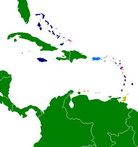
| Keywords: Caribbean by political system.png This map shows the various areas of the Caribbean by political system or in the case of dependencies the parent country 2007-03-05 own assumed Hoshie Key 117FEF United States Insular areas F1890F Part of the Kingdom of the Netherlands 008000 Republics 000080 Commonwealth Realms FF0080 British Overseas territories 800080 French overseas Department French Overseas Region Overseas collectivity C0C000 Commonwealth republics Maps of the Caribbean | ||||