MAKE A MEME
View Large Image
| View Original: | CaliforniaTropicalCycloneBreakpoints.png (564x550) | |||
| Download: | Original | Medium | Small | Thumb |
| Courtesy of: | commons.wikimedia.org | More Like This | ||
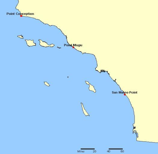
| Keywords: CaliforniaTropicalCycloneBreakpoints.png A map of breakpoints for w tropical cyclones in California It is made using screenshots of online parts of the National Atlas of the United States The screenshots are put together using MS Paint to make a map of breakpoints The screenshots were acquired from http //www nationalatlas gov/natlas/Natlasstart asp this site which is part of the National Atlas The plotted locations were found by searching for them at the aforementioned site PD-USGov-Atlas http //www nationalatlas gov/ National Atlas Site -- wikipedia en user Miss Madeline Map of warning breakpoints Mapa de los puntos de rompimiento de aviso Map of warning stations w Image CaliforniaTropicalCycloneBreakpoints JPG 2005-10-22 wikipedia en user Miss Madeline original uploader PD-USGov w Image CaliforniaTropicalCycloneBreakpoints JPG Maps of California Tropical cyclone breakpoint maps | ||||