MAKE A MEME
View Large Image
| View Original: | Cad-map-40chain-parish-yeppoon-1974.jpg (7340x5636) | |||
| Download: | Original | Medium | Small | Thumb |
| Courtesy of: | commons.wikimedia.org | More Like This | ||
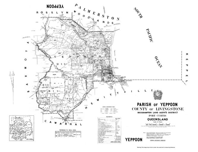
| Keywords: Cad-map-40chain-parish-yeppoon-1974.jpg en Cadastral map of the Parish of Yeppoon displaying real property information and Administrative Areas including Parish; County and Land Agents District 2004-10-23 02 51 54 https //gisservices information qld gov au/arcgis/rest/directories/historicalscans/cad_scans/cad-map-40chain-parish-yeppoon-1974 jpg Survey Office Department of Lands Brisbane other versions -24 22 151 292 cc-zero Cadastral maps of Queensland | ||||