MAKE A MEME
View Large Image
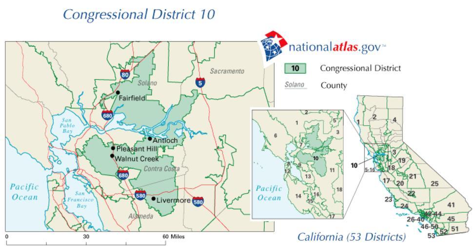
| View Original: | Ca10_109.png (763x401) | |||
| Download: | Original | Medium | Small | Thumb |
| Courtesy of: | commons.wikimedia.org | More Like This | ||
| Keywords: Ca10 109.png en wikipedia 2011 December 4 Map of en California's 10th congressional district http //nationalatlas gov/printable/images/preview/congdist/ca10_109 gif 2008-04-24 U S Government PD-USGov-Atlas Original upload log transferred from en wikipedia DimiCalifornia page en wikipedia Ca10_109 gif Upload date User Bytes Dimensions Comment 2008-04-25 03 00 35 Socal gal at heart 47327 763×401 <small><nowiki> California's 10th congressional district National Atlas April 24 2008 U S Government PD-USGov </nowiki></small> Congressional district maps of California Maps of Alameda County California Maps of Contra Costa County California Maps of Sacramento County California Maps of Solano County California PD-USGov Original upload log wikitable - - 2011-12-04 17 00 09 763 × 401 47327 bytes DimiTalen <nowiki> en wikipedia subst CURRENTYEAR subst CURRENTMONTHNAME subst CURRENTDAY The tool and the bot are operated by User Jan Luca and User Magnus Manske en Map of en Calif</nowiki> | ||||