MAKE A MEME
View Large Image
| View Original: | ByresSaintVincent.jpg (1200x1777) | |||
| Download: | Original | Medium | Small | Thumb |
| Courtesy of: | commons.wikimedia.org | More Like This | ||
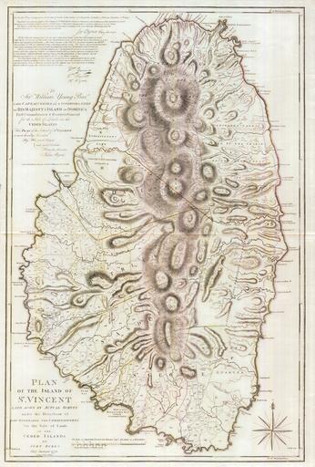
| Keywords: ByresSaintVincent.jpg A 1776 map of the Caribbean isle of Saint Vincent The southern portion of the island was under British control and the northern portion was under the control of the Black Caribs http //www pennymead com/featured php coun st 20vincent 1776 John Byres PD-old-100 Topographic maps of Saint Vincent and the Grenadines 1776 maps History of Saint Vincent and the Grenadines | ||||