MAKE A MEME
View Large Image
| View Original: | Bredestraat,_1587,_1749.jpg (1065x1000) | |||
| Download: | Original | Medium | Small | Thumb |
| Courtesy of: | commons.wikimedia.org | More Like This | ||
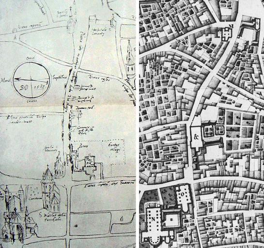
| Keywords: Bredestraat, 1587, 1749.jpg en Two maps of Bredestraat and surrounding streets in Maastricht the Netherlands Left part of map by probably Simon de Bellomonte 1587 Right part of map by Larcher d'Aubencourt 1749 2007-10-08 13 10 11 Two old maps of Maastricht from 1587 and 1749 depicting Bredestraat and surrounding streets both in the public domain Simon de Bellomonte map of 1587 ; Larcher d'Aubencourt map of 1749 Custom license marker 2013 03 29 PD-old-100 Uploaded with UploadWizard Bredestraat Maastricht Sketch of Maastricht by Simon de Bellomonte Map of Maastricht by Larcher d'Aubencourt 1749 | ||||