MAKE A MEME
View Large Image

| View Original: | Bowes_Ryther_map_playing_cards.jpg (750x1153) | |||
| Download: | Original | Medium | Small | Thumb |
| Courtesy of: | commons.wikimedia.org | More Like This | ||
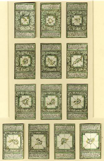
| Keywords: Bowes Ryther map playing cards.jpg en Cards from a pack illustrating counties of England and Wales The maps were largely copied from an atlas by Christopher Saxton http //www britishmuseum org/research/search_the_collection_database/search_object_image aspx Engraving by Augustine Ryther after William Bowes 1590 PD-old-100 1590 engravings Counties of England Maps of counties of Wales 16th-century playing cards 16th-century way of life preserved artefacts Complete suits of playing cards laid out | ||||