MAKE A MEME
View Large Image
| View Original: | Boston molasses detail map.png (874x742) | |||
| Download: | Original | Medium | Small | Thumb |
| Courtesy of: | commons.wikimedia.org | More Like This | ||
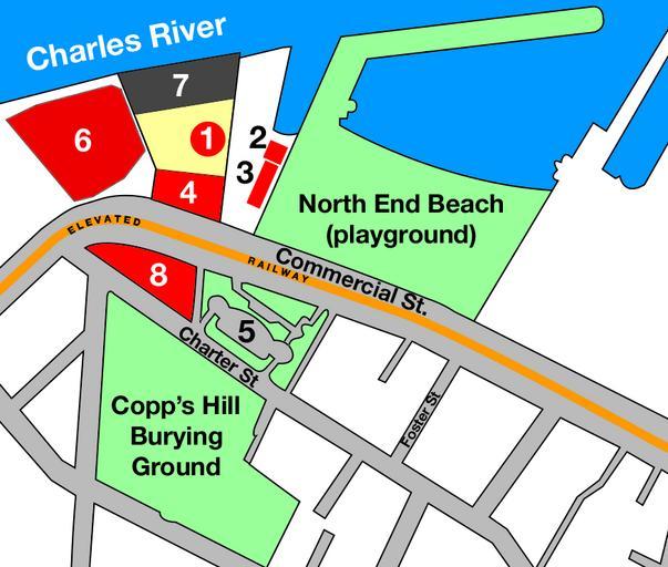
| Keywords: Boston molasses detail map.png Map based on based on official City of Boston Massachusetts maps published in 1895 and 1915 adding data from published accounts and deduced from photos of the Boston molasses disaster Purity Distilling molasses tank Firehouse 31 heavy damage Paving department and police station Purity offices flattened Copp's Hill Terrace Boston Gas Light building damaged Purity warehouse mostly intact Residential area site of flattened Clougherty house 2005-03-21 own User IMeowbot Maps of Boston Maps of the history of the United States Boston Molasses Disaster | ||||