MAKE A MEME
View Large Image
| View Original: | Boston1692.jpg (1024x1271) | |||
| Download: | Original | Medium | Small | Thumb |
| Courtesy of: | commons.wikimedia.org | More Like This | ||
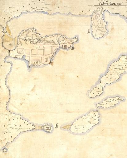
| Keywords: Boston1692.jpg Detail from a 1692 French map of Boston harbor The Shawmut Peninsula site of Boston is in the upper left with Charlestown top center Castle Island is visible to the lower left Boston Public Library digital map collection http //maps bpl org/details_10927/ 1692 Pierre d'Au de Jolliet PD-old-100 Old maps of Boston Boston in the 1690s | ||||