MAKE A MEME
View Large Image
| View Original: | BorahPeakID.jpg (1089x600) | |||
| Download: | Original | Medium | Small | Thumb |
| Courtesy of: | commons.wikimedia.org | More Like This | ||
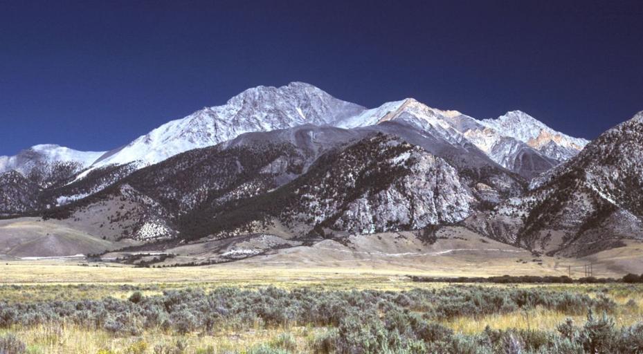
| Keywords: BorahPeakID.jpg Borah Peak Idaho looking east The normal climbing route begins in the wooded canyon at center left The white line running along the base of the peak is the fault trace from the 1983 earthquake en wikipedia RedWolf CommonsHelper 2006-05-06 G Thomas wikipedia en G Thomas original upload log page en wikipedia BorahPeakID jpg 2006-05-06 20 17 G Thomas 1089×600× 127941 bytes <nowiki>Borah Peak Idaho looking east The normal climbing route begins in the wooded canyon at center left The white line running along the base of the peak is the fault trace from the 1983 earthquake </nowiki> Custer County Idaho Borah Peak | ||||