MAKE A MEME
View Large Image

| View Original: | Bonne,_Rigobert._Tartarie_Independante._1791_C.jpg (2003x1525) | |||
| Download: | Original | Medium | Small | Thumb |
| Courtesy of: | commons.wikimedia.org | More Like This | ||
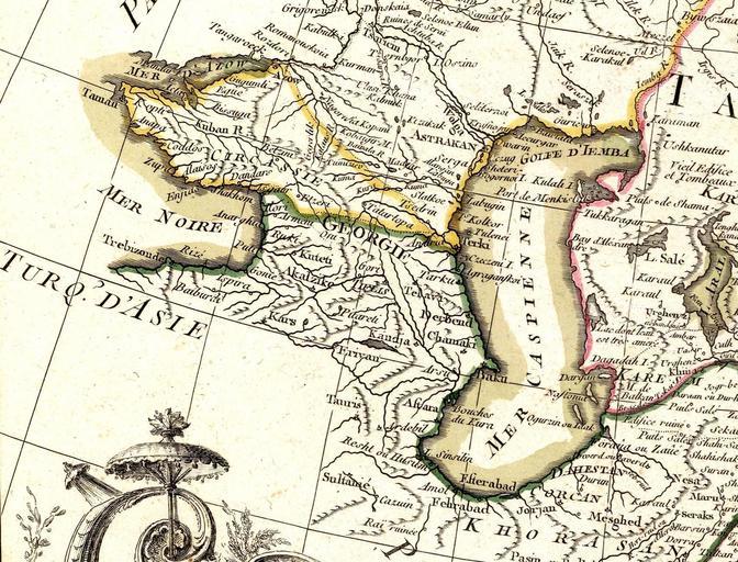
| Keywords: Bonne, Rigobert. Tartarie Independante. 1791 C.jpg fr Carte de la Tartarie Independante qui comprend le Pays des Calmuks celui des Usbeks et le Turkestan avec leurs dependances projettee et assujettie aux observations celestes par M Bonne Hydrographe du Roi A Paris chez Lattre rue S Jacq Arrivet inv sculp 1791 Image Bonne Rigobert Tartarie Independante 1791 jpg Original from http //www davidrumsey com/luna/servlet/detail/RUMSEY~8~1~20490~540088 www davidrumsey com 1791 creator Rigobert Bonne Maps by Rigobert Bonne Old maps of the Caucasus Old maps of Armenia 18th-century maps of Azerbaijan 18th-century maps of Georgia Maps of Circassia Old maps of the Caspian Sea Old maps of the Russian Empire Old maps of Uzbekistan Old maps of Iran Khorasan 1791 maps David Rumsey Historical Map Collection PD-Art-100 ImageNote 1 630 635 94 64 2003 1525 2 Puti ImageNoteEnd 1 ImageNote 2 808 666 102 58 2003 1525 2 Kuteti Kutaisi ImageNoteEnd 2 ImageNote 3 943 755 117 41 2003 1525 2 Tiflis Tbilisi ImageNoteEnd 3 ImageNote 4 760 724 153 64 2003 1525 2 ImageNote 7 567 498 122 58 2003 1525 2 Shakhom ImageNoteEnd 7 Akalzike Akhaltsikhe ImageNoteEnd 4 ImageNote 5 707 544 89 38 2003 1525 2 Ilori ImageNoteEnd 5 ImageNote 6 620 455 127 41 2003 1525 2 Dandars see Dranda Cathedral ImageNoteEnd 6 ImageNote 7 567 498 122 58 2003 1525 2 Shakhom ImageNoteEnd 7 ImageNote 8 966 699 74 48 2003 1525 2 Gori ImageNoteEnd 8 ImageNote 9 925 826 109 58 2003 1525 2 Pitareti see Pitareti Monastery ImageNoteEnd 9 ImageNote 10 727 839 84 51 2003 1525 2 Kars ImageNoteEnd 10 ImageNote 11 1090 768 119 56 2003 1525 2 Telavi ImageNoteEnd 11 ImageNote 12 674 719 79 51 2003 1525 2 Gonie ImageNoteEnd 12 ImageNote 13 592 737 89 56 2003 1525 2 Ispira ImageNoteEnd 13 ImageNote 14 918 930 117 58 2003 1525 2 Erivan ImageNoteEnd 14 ImageNote 15 994 890 117 53 2003 1525 2 Kandja ImageNoteEnd 15 | ||||