MAKE A MEME
View Large Image
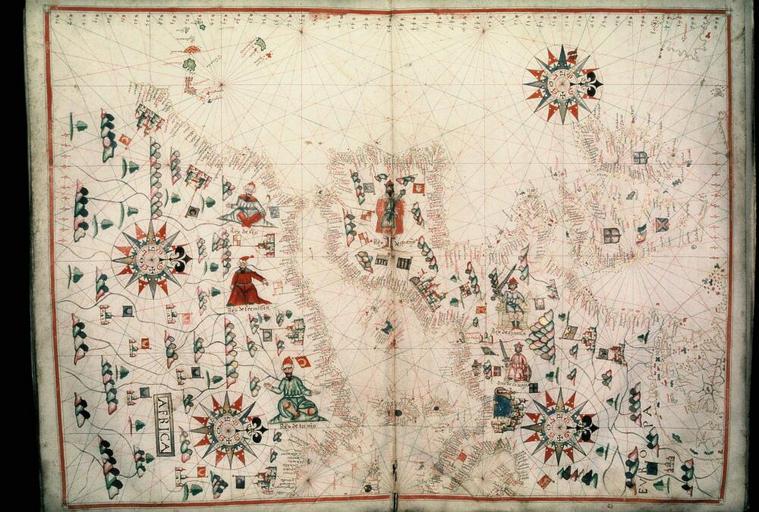
| View Original: | Bodleian Libraries, The western half of a normalportolan chart.jpg (1000x675) | |||
| Download: | Original | Medium | Small | Thumb |
| Courtesy of: | commons.wikimedia.org | More Like This | ||
| Keywords: Bodleian Libraries, The western half of a normalportolan chart.jpg Charting the coasts from southern Scandinavia to North Africa in MS on vellum Catalan atlas of nine manuscript charts 590 x 445 mm; 35mm slide exhibition history Filmstrip Roll 279 1 frame 13; Source filename mapsxx003-aam-0001-0 object history object type Licensed-PD-Art PD-old-100 cc-by-4 0 place of creation place of discovery http //digital bodleian ox ac uk/inquire/p//dc1fa7d9-83d0-4f05-9164-20ad6522d4ce Digital Bodleian Template Bodleian Libraries The western half of a normal-portolan chart Uploaded with GWToolset Bodleian Libraries The western half of a normalportolan chart http //iiif bodleian ox ac uk/iiif/image/dc1fa7d9-83d0-4f05-9164-20ad6522d4ce/full/ 1000 1000/0/default jpg Files uploaded by the Bodleian Libraries' Wikimedian In Residence Bodleian Maps Collection Old maps of Europe | ||||