MAKE A MEME
View Large Image
| View Original: | Bodleian Libraries, A plan of the City of Oxford eastern half.jpg (1000x675) | |||
| Download: | Original | Medium | Small | Thumb |
| Courtesy of: | commons.wikimedia.org | More Like This | ||
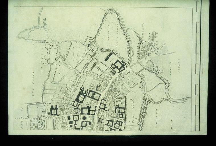
| Keywords: Bodleian Libraries, A plan of the City of Oxford eastern half.jpg Close-up of inset map with the High Street Holywell and St Clement's in Richard Davis A map of the County of Oxford Scale c 1 9 500 35mm slide exhibition history Filmstrip Roll 221 1 frame 11; Source filename mapsxx003-aja-0001-0 object history object type Licensed-PD-Art PD-old-100 cc-by-4 0 place of creation place of discovery http //digital bodleian ox ac uk/inquire/p//5def005c-9c7d-42c9-87e8-5bb6096eca69 Digital Bodleian Template Bodleian Libraries A plan of the City of Oxford - eastern half Uploaded with GWToolset Bodleian Libraries A plan of the City of Oxford eastern half http //iiif bodleian ox ac uk/iiif/image/5def005c-9c7d-42c9-87e8-5bb6096eca69/full/ 1000 1000/0/default jpg Files uploaded by the Bodleian Libraries' Wikimedian In Residence Bodleian Maps Collection Old maps of Oxford | ||||