MAKE A MEME
View Large Image
| View Original: | Bodleian Libraries, Oxford and Watlington area of Oxfordshire, by Andrew Bryant, 1824.jpg (1000x675) | |||
| Download: | Original | Medium | Small | Thumb |
| Courtesy of: | commons.wikimedia.org | More Like This | ||
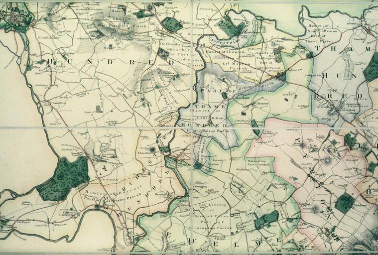
| Keywords: Bodleian Libraries, Oxford and Watlington area of Oxfordshire, by Andrew Bryant, 1824.jpg A proof copy showing a portion of Bryant's map of Oxfordshire on a scale of one and a half inches to one mile 1 42 240 505 x 315 mm; 35mm slide exhibition history Filmstrip Roll 279 2 frame 30; Source filename mapsxx003-acm-0001-0 object history object type Licensed-PD-Art PD-old-100 cc-by-4 0 place of creation place of discovery http //digital bodleian ox ac uk/inquire/p//55340163-7469-4288-8ace-fd8cd1ada6cc Digital Bodleian Template Bodleian Libraries Oxford and Watlington area of Oxfordshire by Andrew Bryant 1824 Uploaded with GWToolset Bodleian Libraries Oxford and Watlington area of Oxfordshire by Andrew Bryant 1824 http //iiif bodleian ox ac uk/iiif/image/55340163-7469-4288-8ace-fd8cd1ada6cc/full/ 1000 1000/0/default jpg Files uploaded by the Bodleian Libraries' Wikimedian In Residence Bodleian Maps Collection Old maps of Oxfordshire | ||||