MAKE A MEME
View Large Image
| View Original: | Bodleian Libraries, Oxford From the Ordnance Survey.jpg (1000x675) | |||
| Download: | Original | Medium | Small | Thumb |
| Courtesy of: | commons.wikimedia.org | More Like This | ||
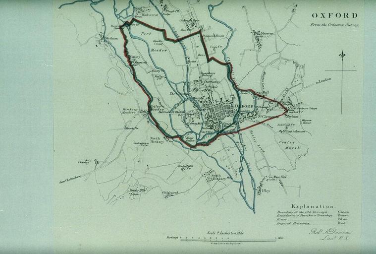
| Keywords: Bodleian Libraries, Oxford From the Ordnance Survey.jpg Map of Oxford showing the boundaries of the city at a scale of 1 31 680 325 x 325 mm; 35mm slide exhibition history Filmstrip Roll 279 2 frame 29; Source filename mapsxx003-acl-0001-0 object history object type Licensed-PD-Art PD-old-100 cc-by-4 0 place of creation place of discovery http //digital bodleian ox ac uk/inquire/p//67c14c8f-be10-4c3d-aab3-cbafcd177833 Digital Bodleian Template Bodleian Libraries Oxford From the Ordnance Survey Uploaded with GWToolset Bodleian Libraries Oxford From the Ordnance Survey http //iiif bodleian ox ac uk/iiif/image/67c14c8f-be10-4c3d-aab3-cbafcd177833/full/ 1000 1000/0/default jpg Files uploaded by the Bodleian Libraries' Wikimedian In Residence Bodleian Maps Collection Old maps of Oxford | ||||