MAKE A MEME
View Large Image
| View Original: | Bodleian Libraries, A map of the County of Oxford.jpg (672x992) | |||
| Download: | Original | Medium | Small | Thumb |
| Courtesy of: | commons.wikimedia.org | More Like This | ||
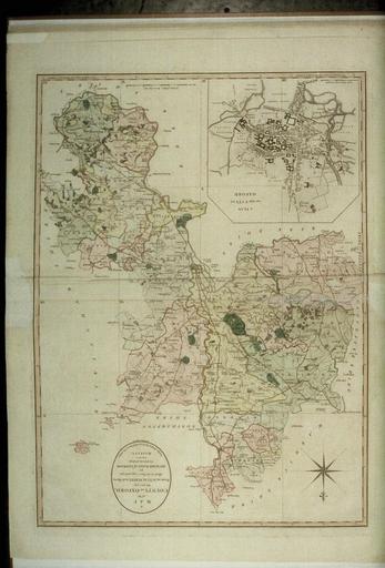
| Keywords: Bodleian Libraries, A map of the County of Oxford.jpg Close-up of the inset map of the city of Oxford shows the western part from the River Isis with Osney to the city centre just past the north-south axis of St Giles-Cornmarket-Fish Street now St Aldate's 645 x 460 mm; 35mm slide exhibition history Filmstrip Roll 271 1 frame 16; Source filename mapsxx003-akb-0001-0 object history object type Licensed-PD-Art PD-old-100 cc-by-4 0 place of creation place of discovery http //digital bodleian ox ac uk/inquire/p//7d55c2c2-0338-4230-bf7c-65047e16aa11 Digital Bodleian Template Bodleian Libraries A map of the County of Oxford Uploaded with GWToolset Bodleian Libraries A map of the County of Oxford http //iiif bodleian ox ac uk/iiif/image/7d55c2c2-0338-4230-bf7c-65047e16aa11/full/ 1000 1000/0/default jpg Files uploaded by the Bodleian Libraries' Wikimedian In ResidenceBodleian Maps CollectionOld maps of Oxford | ||||