MAKE A MEME
View Large Image
| View Original: | Bodleian Libraries, A map of the County of Oxford 19.jpg (1000x675) | |||
| Download: | Original | Medium | Small | Thumb |
| Courtesy of: | commons.wikimedia.org | More Like This | ||
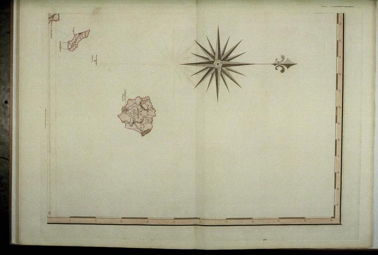
| Keywords: Bodleian Libraries, A map of the County of Oxford 19.jpg Detached parts of Oxfordshire within the neighbouring counties of Buckinghamshire and Northamptonshire 645 x 460 mm; 35mm slide help warp map date Source filename mapsxx003-ajs-0001-0 other fields other versions Licensed-PD-Art PD-old-100 cc-by-4 0 print date Filmstrip Roll 271 1 frame 7 http //digital bodleian ox ac uk/inquire/p//f2683858-f84f-4e86-acba-03dfaac96861 Digital Bodleian Template Bodleian Libraries A map of the County of Oxford wikidata location wikidata title Uploaded with GWToolset Bodleian Libraries A map of the County of Oxford_19 http //iiif bodleian ox ac uk/iiif/image/f2683858-f84f-4e86-acba-03dfaac96861/full/ 1000 1000/0/default jpg Files uploaded by the Bodleian Libraries' Wikimedian In Residence Bodleian Maps Collection Old maps of Oxfordshire Maps of Buckinghamshire Maps of Northamptonshire | ||||