MAKE A MEME
View Large Image

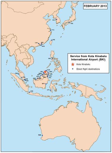
| View Original: | BKI airport map.PNG (1471x2002) | |||
| Download: | Original | Medium | Small | Thumb |
| Courtesy of: | commons.wikimedia.org | More Like This | ||
| Keywords: BKI airport map.PNG Kota Kinabalu International Airport route map Base map here Image Se asia malaysia png created by User Kmusser Own 2007-11-30 Kawaputra Maps of cities served by flights from given airport Maps of Sabah | ||||