MAKE A MEME
View Large Image
| View Original: | BIThumbMap CON edited.png (663x1069) | |||
| Download: | Original | Medium | Small | Thumb |
| Courtesy of: | commons.wikimedia.org | More Like This | ||
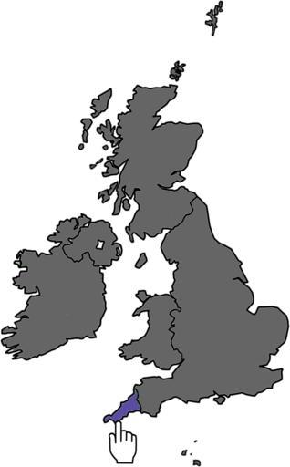
| Keywords: BIThumbMap CON edited.png Map showing Cornwall within the British Isles designed for use at very low resolutions Own 2007-11-06 Ras52 colored by Sagredo 22 28 22 December 2007 UTC Maps of the United Kingdom | ||||