MAKE A MEME
View Large Image
| View Original: | Battle of Laubressel Cassini Map2.png (757x444) | |||
| Download: | Original | Medium | Small | Thumb |
| Courtesy of: | commons.wikimedia.org | More Like This | ||
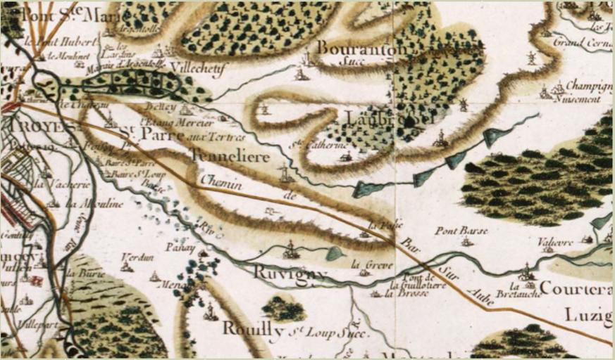
| Keywords: Battle of Laubressel Cassini Map2.png en Cassini map of the village of Laubressel and its relationship with Troyes Bouranton and the Pont de Guillotiere Zoomed 1754 http //cassini ehess fr/cassini/fr/html/1_navigation php http //gallica bnf fr/ark /12148/btv1b77115924/f1 item zoom Cesar Francois Cassini de Thury 1714-1784 other versions PD-old-70-1923 Carte de Cassini Maps of the Napoleonic Wars | ||||