MAKE A MEME
View Large Image
| View Original: | Barentsz_arctic_map.jpg (650x517) | |||
| Download: | Original | Medium | Small | Thumb |
| Courtesy of: | commons.wikimedia.org | More Like This | ||
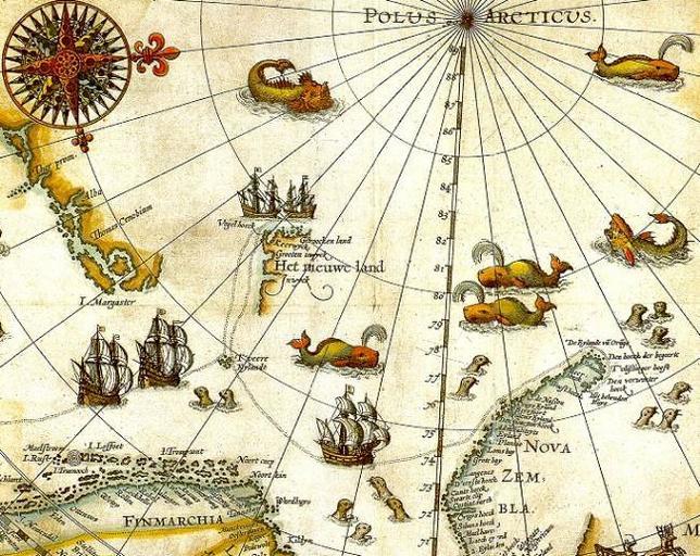
| Keywords: Barentsz arctic map.jpg Portion of 1599 map of Arctic exploration by Willem Barentsz Spitsbergen here mapped for the first time is indicated as Het Nieuwe Land Dutch for the New Land center-left http //www ub uit no/northernlights/eng/svalbard02 htm University Library of Tromsø Original map 1599 Portion published online by Tromsø University 1999 as part of the Northern Lights Route project of the Council of Europe Uploaded to Commons 2006 Willem Barentsz Public domain over 70 years since creator's death PD-old Old maps of the Arctic Old maps of Svalbard Willem Barentsz 1599 | ||||