MAKE A MEME
View Large Image
| View Original: | Banat_Josephinische_Landaufnahme_pg088.jpg (8529x5771) | |||
| Download: | Original | Medium | Small | Thumb |
| Courtesy of: | commons.wikimedia.org | More Like This | ||
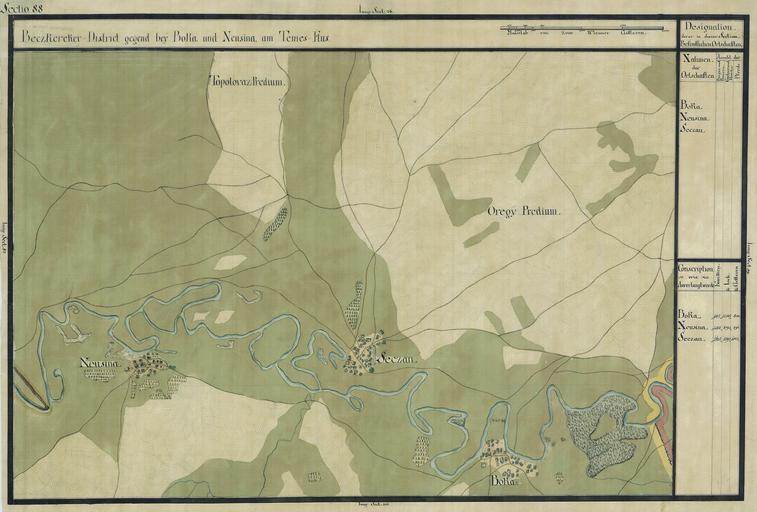
| Keywords: Banat Josephinische Landaufnahme pg088.jpg wikitable style margin 1em auto 1em auto width 80 Name shown on the map<br>Nume din hartá Administrative unit<br>Unitate administrativá Romanian name<br>Numele romûÂnesc Hungarian name<br>Numele unguresc German name<br>Numele german Serbian name<br>Numele sûÂrbesc Country today<br>éÂara de astázi - Boka TorontûÀl megye Boka Seáanj Bû°ka Boka ÅŃŤů ÅÀÅçîůî Szerbia ûˋs Montenegrû° - Neusina TorontûÀl megye Neuzina Nagynezsûˋny Nûˋzsûˋny Serbisch Neusin und Kroatisch Neusin Å ÅçîÅñšŧů Szerbia ûˋs Montenegrû° - Banatul ûÛn háréÈile iozefine 1769-72 Josephinische Landaufnahme pg088 de Das Banat in Josephinische Landesaufnahme 1769-72 Josephinische Landaufnahme pg088 en The Banat region in the cadastral maps Josephinische Landesaufnahme 1769-72 Josephinische Landaufnahme pg088 ûsterreichisches Staatsarchiv Kriegsarchiv Historische MilitûÊrkarte der ûÑsterreichisch-ungarischen Monarchie 1769-72 PD-old-100 Clickable map of the Banat region BanatJosephinischeLandaufnahme 1769-72 Josephinische Landaufnahme | ||||