MAKE A MEME
View Large Image
| View Original: | Banat_Josephinische_Landaufnahme_pg000.jpg (7181x8764) | |||
| Download: | Original | Medium | Small | Thumb |
| Courtesy of: | commons.wikimedia.org | More Like This | ||
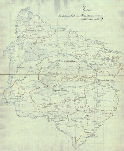
| Keywords: Banat Josephinische Landaufnahme pg000.jpg LargeImage Banatul în hărţile iozefine 1769-72 de Das Banat in Josephinische Landesaufnahme 1769-72 en The Banat region in the cadastral maps Josephinische Landesaufnahme 1769-72 Österreichisches Staatsarchiv Kriegsarchiv Historische Militärkarte der österreichisch-ungarischen Monarchie 1769 - 72 PD-old-100 Clickable map of the Banat region BanatJosephinischeLandaufnahme 1769-72 Old maps of Vojvodina Old maps of Banat Josephinische Landaufnahme | ||||