MAKE A MEME
View Large Image
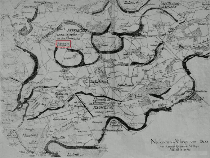
| View Original: | Averdunkshof.png (3019x2283) | |||
| Download: | Original | Medium | Small | Thumb |
| Courtesy of: | commons.wikimedia.org | More Like This | ||
| Keywords: Averdunkshof.png de Karte von Neukirchen-Vluyn vor 1800 von Kataster-Geometer M Buyx 2016-05-20 Landkarte von Neukirchen-Vluyn vor 1800 im Maßstab 1 25000 Kataster-Geometer M Buyx other versions Historische Landkarte von Neukirchen-Vluyn vor 1800 cc-zero Maps | ||||