MAKE A MEME
View Large Image
| View Original: | AucklandMapHochstetter1859_-_Onehunga_crop.jpg (300x400) | |||
| Download: | Original | Medium | Small | Thumb |
| Courtesy of: | commons.wikimedia.org | More Like This | ||
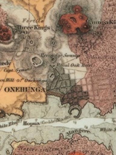
| Keywords: AucklandMapHochstetter1859 - Onehunga crop.jpg Onehunga and nearby volcanoes Portion of a map of the Auckland Volcanic Field by Ferdinand von Hochstetter 1859 Originally published in Geologisch-topographischer Atlas von Neu-Seeland Hochstetter and Petermann 1863 and republished in English in 1864 Original downloaded from http //www gsnz org nz/auck_branch/mangere_website/hoch2 JPG Another scan is available at http //nla gov au/nla map-nk3720-2 Published 1863 Ferdinand von Hochstetter 1829-1884 PD-old Cropped from Image AucklandMapHochstetter1859 JPG PD-old Old maps of Auckland 1859 Onehunga Auckland volcanic field Manukau Harbour Maps of volcanoes of the Pacific Ocean Maps of volcanoes of New Zealand | ||||