MAKE A MEME
View Large Image
| View Original: | Atlas_of_the_city_and_island_of_Montreal.png (4807x3468) | |||
| Download: | Original | Medium | Small | Thumb |
| Courtesy of: | commons.wikimedia.org | More Like This | ||
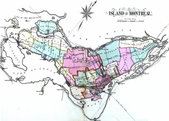
| Keywords: Atlas of the city and island of Montreal.png en Atlas of the city and island of Montreal including the counties of Jacques Cartier and Hochelaga ; from actual surveys based upon the cadastral plans deposited in the office of the Department of Crown Lands fr 1 atlas 107 p cartes en coul ; 45 cm Colorié à la main http //services banq qc ca/sdx/cep/document xsp id 0000174244 Henry Whitmer Hopkins 1838-1920 1879 Maps of Montreal 1879 in Montreal PD-old-100 | ||||