MAKE A MEME
View Large Image

| View Original: | Atlas Beudeker-C9E10 044 14X-PLAN DE MAESTRICH-Bossche Fronten 1708.jpg (1622x1083) | |||
| Download: | Original | Medium | Small | Thumb |
| Courtesy of: | commons.wikimedia.org | More Like This | ||
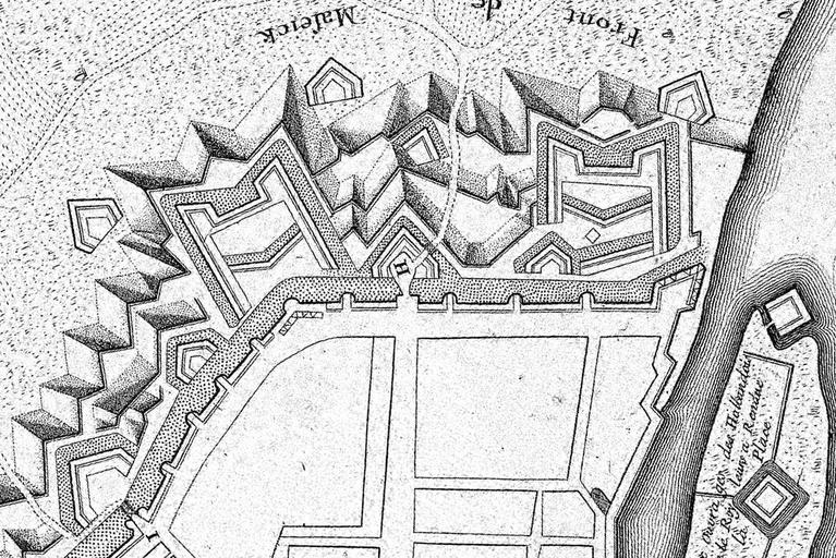
| Keywords: Atlas Beudeker-C9E10 044 14X-PLAN DE MAESTRICH-Bossche Fronten 1708.jpg en Detail of a French map of the fortifications of Maastricht the Netherlands published in 1708 in Paris This section shows the northern part of the fortifications the so-called Bossche Fronten 2007-12-18 14 33 43 https //commons wikimedia org/wiki/File Atlas_Beudeker-C9E10_044_14X-PLAN_DE_MAESTRICH jpeg Unknown cartographer Publisher Baillieux Paris 1708 other versions Custom license marker 2016 04 20 PD-old-100 Atlas Beudeker Old maps of Maastricht Maastricht in the 1700s Nieuwe Bossche Fronten | ||||