MAKE A MEME
View Large Image
| View Original: | Aquitania_001.png (770x590) | |||
| Download: | Original | Medium | Small | Thumb |
| Courtesy of: | commons.wikimedia.org | More Like This | ||
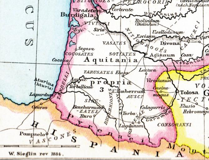
| Keywords: Aquitania 001.png Alte historische Karte Galliens unter Römischer Herrschaft aus dem Historischen Handatlas von Droysen 1886 1886 Droysens Hist Handatlas S16 Gallien jpg Gustav Droysen other versions PD-old Aquitani Old maps of Roman Gaul France in the 3rd century Maps from Allgemeiner Historischer Handatlas | ||||