MAKE A MEME
View Large Image
| View Original: | Ancient_Umbria.png (871x713) | |||
| Download: | Original | Medium | Small | Thumb |
| Courtesy of: | commons.wikimedia.org | More Like This | ||
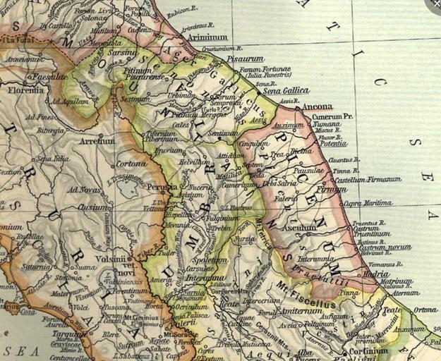
| Keywords: Ancient Umbria.png Umbria from Reference Map of Ancient Italy Northern Part http //www lib utexas edu/maps/historical/shepherd_1911/shepherd-c-026-027 jpg Historical Atlas by William R Shepherd 1911 Courtesy of the University of Texas Libraries The University of Texas at Austin From The Historical Atlas by William R Shepherd http //www lib utexas edu/maps/historical/history_shepherd_1911 html 1911 edition Shepherd-c-026-027 jpg 2009-07-22 23 24 UTC Shepherd-c-026-027 jpg http //www lib utexas edu/maps/historical/history_shepherd_1911 html Historical Atlas by William R Shepherd 1911 edition derivative work Shooke 20x10px 20x10px<sup><small> Talk me in spanish english or italian </small></sup> crop in Umbria region Shooke Shepherd-c-026-027 jpg PD-US PD-old original upload log This image is a derivative work of the following images File Shepherd-c-026-027 jpg licensed with PD-US PD-old 2007-07-01T08 02 18Z Accurimbono 1902x1545 850741 Bytes <nowiki> Summary Map of Northen Italy during the Roman period Extracted from The Historical Atlas by William R Shepherd 1911 Original image is at http //www lib utexas edu/maps/historical/shepherd_</nowiki> Uploaded with derivativeFX Maps showing history by William R Shepherd Old maps of Umbria Ager Gallicus | ||||