MAKE A MEME
View Large Image

| View Original: | AMH-8587-NA_Map_of_Allerheiligenbaai.jpg (2400x1692) | |||
| Download: | Original | Medium | Small | Thumb |
| Courtesy of: | commons.wikimedia.org | More Like This | ||
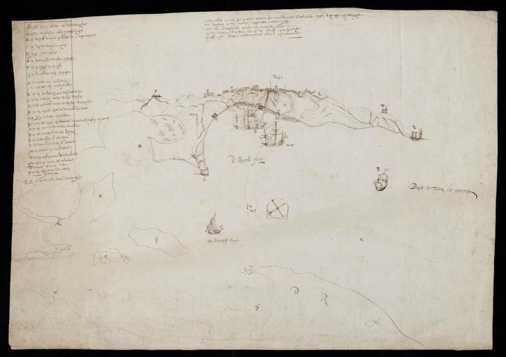
| Keywords: AMH-8587-NA Map of Allerheiligenbaai.jpg Artwork nl Kaart van de Allerheiligenbaai nl Kaart van de Allerheiligenbaai Titel in de Catalogus Leupe NA Kaart van de Baya de Todos los Sanctos Baija de Todos los Sanctos Legenda A-Z en Map of Allerheiligenbaai Title in the Leupe Catalogue NA Kaart van de Baya de Todos los Sanctos Baija de Todos los Sanctos Key A-Z Atlas of Mutual Heritage na http //www atlasofmutualheritage nl/en/object/ id 8587 Source at the Atlas of Mutual Heritage - http //www gahetna nl/collectie/archief/inventaris/index/eadid/4 VEL/inventarisnr/717/level/file Source at the Nationaal Archief en Subjects chart / map / plan bird's-eye view / elevation elevation / bird's-eye view anchorage / pier / harbour key fortification building ship / vessel house monastery / seminary church / parsonage nl Onderwerpen plattegrond / kaart vogelvlucht / opstand opstand / vogelvlucht rede / haven / pier legenda vesting gebouw schip / vaartuig huis / woonhuis klooster / seminarie kerk / pastorie en Post this image is related to a WIC trading post called http //www atlasofmutualheritage nl/en/post/ id 1052 Salvador Inscription Baija de Todos los Sanctos author D Ruiter fecit nl between 1625 1635 Creator D Ruiters nl D Ruiters landmeter / kaartenmaker en D Ruiters land surveyor / mapmaker Institution Nationaal Archief nl pen op papier en pen on paper Size cm 29 42 accession number NL-HaNA_4 VEL_717 old number VEL0717 PD-Art-100 Maps of the West-Indische Compagnie 1620s | ||||