MAKE A MEME
View Large Image
| View Original: | AMH-6755-NA_Map_of_the_island_of_Goeree.jpg (2400x1711) | |||
| Download: | Original | Medium | Small | Thumb |
| Courtesy of: | commons.wikimedia.org | More Like This | ||
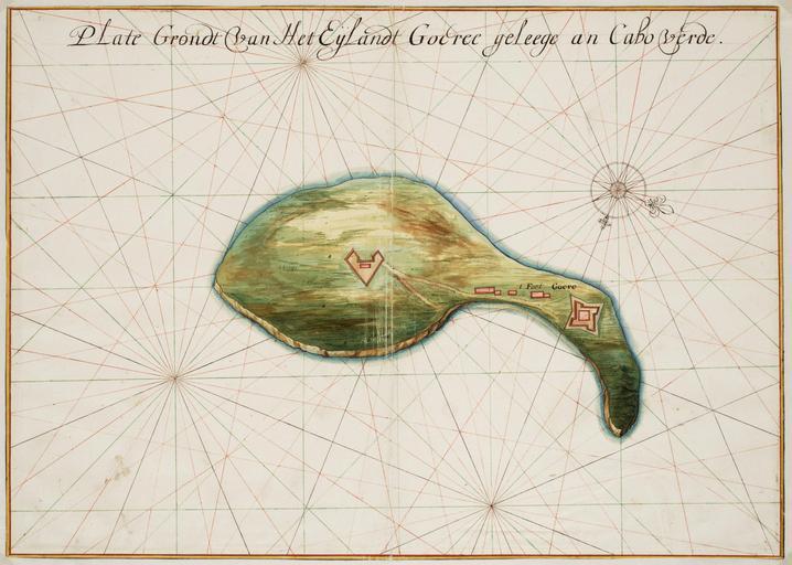
| Keywords: AMH-6755-NA Map of the island of Goeree.jpg Artwork nl Plattegrond van het eiland Goeree nl Titel catalogus Leupe NA Plategrondt van het eijlandt Goeree geleege an Cabo Verde Plattegrond van het eiland Goeree Plate Grondt van Het Eijlandt Goeree geleege an Cabo verde Bijzonderheden de kaart maakt deel uit van de Atlas Vingboons en Title in the Leupe catalogue NA Plategrondt van het eijlandt Goeree geleege an Cabo Verde Map of the island of Goeree Plate Grondt van Het Eijlandt Goeree geleege an Cabo verde Notes the chart forms part of the Vingboons Atlas Atlas of Mutual Heritage na http //www atlasofmutualheritage nl/en/object/ id 6755 Source at the Atlas of Mutual Heritage - http //www gahetna nl/collectie/archief/inventaris/index/eadid/4 VELH/inventarisnr/619 54/level/file Source at the Nationaal Archief en Subjects fortification chart / map / plan compass / dial building nl Onderwerpen vesting plattegrond / kaart kompas / windroos gebouw en Post this image is related to a WIC trading post called http //www atlasofmutualheritage nl/en/post/ id 690 Goeree Island Inscription Plate Grondt van Het Eijlandt Goeree geleege an Cabo verde nl circa 1665 Creator Johannes Vingboons nl Johannes Vingboons landmeter / kaartenmaker en Johannes Vingboons land surveyor / mapmaker Institution Nationaal Archief nl aquarel/waterverf op papier en watercolour on paper Size cm 42 59 accession number NL-HaNA_4 VELH_619 54 old number VELH0619 54 PD-Art-100 Maps of the West-Indische Compagnie 1665 | ||||