MAKE A MEME
View Large Image
| View Original: | AMH-6098-NA_Map_of_India.jpg (2400x1872) | |||
| Download: | Original | Medium | Small | Thumb |
| Courtesy of: | commons.wikimedia.org | More Like This | ||
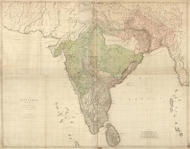
| Keywords: AMH-6098-NA Map of India.jpg Artwork nl Kaart van India nl Titel catalogus Leupe NA The East Indies with the Roads Een zeer gedetailleerde kaart van India en Ceylon Meerdere schaalverdelingen worden rechtsonder weergegeven Schaalaanduiding Schaal van 200 British Statute Miles 69½ to a Degree 123 strepen; omgerekende schaal 1 2 616 819; Schaal van 80 Computed Travelling Leagues 30 to a Degree 114 strepen; Schaal van 60 Marine Leagues 20 to a Degree 129 strepen; omgerekende schaal 1 2 584 511; Schaal van 100 Jeribi the Great or Measured Cofs 33 to a Degree 130 strepen; Schaal van 120 Rifmi the Small or Computed Cofs 37 to a Degree 140 strepen en Title in the Leupe catalogue NA The East Indies with the Roads A highly detailed map of India and Ceylon Several scales are shown bottom right Schaalaanduiding Schaal van 200 British Statute Miles 69½ to a Degree 123 strepen; omgerekende schaal 1 2 616 819; Schaal van 80 Computed Travelling Leagues 30 to a Degree 114 strepen; Schaal van 60 Marine Leagues 20 to a Degree 129 strepen; omgerekende schaal 1 2 584 511; Schaal van 100 Jeribi the Great or Measured Cofs 33 to a Degree 130 strepen; Schaal van 120 Rifmi the Small or Computed Cofs 37 to a Degree 140 strepen Atlas of Mutual Heritage na http //www atlasofmutualheritage nl/en/object/ id 6098 Source at the Atlas of Mutual Heritage - http //www gahetna nl/collectie/archief/inventaris/index/eadid/4 VEL/inventarisnr/862/level/file Source at the Nationaal Archief en Subjects chart / map / plan flora nl Onderwerpen plattegrond / kaart flora Inscription The East Indies with the Roads author By Thomas Jefferys Geographer to the King MDCCLXVIII - London Published according to Act of 30th PR 1768 BY Rob Sayer No 69 in Tho Jefferys at Charing Crofs nl 1768 Creator Robert Sayer Creator Thomas Jefferys nl Robert Sayer uitgever Thomas Jefferys landmeter / kaartenmaker en Robert Sayer publisher Thomas Jefferys land surveyor / mapmaker Institution Nationaal Archief nl koperdruk op papier en copperplate printing on paper Size cm 110 141 accession number NL-HaNA_4 VEL_862 old number VEL0862 PD-Art-100 Maps of the Dutch East India Company - Bangladesh Maps of the Dutch East India Company - Sri Lanka Maps of the Dutch East India Company - India 1768 | ||||