MAKE A MEME
View Large Image
| View Original: | AMH-6038-NA_Map_of_the_coast_near_Bantam.jpg (2400x1874) | |||
| Download: | Original | Medium | Small | Thumb |
| Courtesy of: | commons.wikimedia.org | More Like This | ||
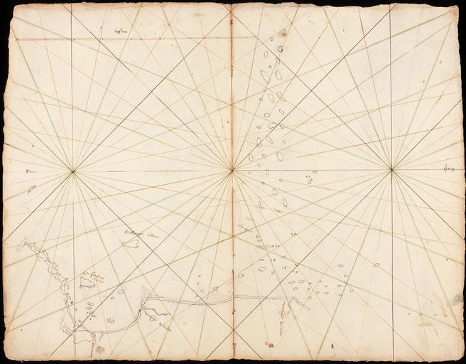
| Keywords: AMH-6038-NA Map of the coast near Bantam.jpg Artwork nl Kaart van de kust bij Bantam nl Titel catalogus Leupe NA Kaart van de Bogt van Bantam tot aan de tweede Versche Rivier Uit VOC 456 Behoort tot de schepen van de tweede reis van van Neck 1598-1600 Notities verso Java Bantam Kamer Amsterdam 962 Topografische namen in het Nederlands en Maleis vermeld Linksboven bevindt zich de maatverhouding in mylen en Title in the Leupe catalogue NA Kaart van de Bogt van Bantam tot aan de tweede Versche Rivier >From VOC 456 Forms part of the second ship's voyage of Van Neck 1598-1600 Topographical names are given in both Dutch and Malay Top left the scale is given in mylen Atlas of Mutual Heritage na http //www atlasofmutualheritage nl/en/object/ id 6038 Source at the Atlas of Mutual Heritage - http //www gahetna nl/collectie/archief/inventaris/index/eadid/4 VEL/inventarisnr/378/level/file Source at the Nationaal Archief en Subjects chart / map / plan nl Onderwerpen plattegrond / kaart en Post this image is related to a VOC trading post called http //www atlasofmutualheritage nl/en/post/ id 317 Banten Inscription - nl between 1598 1600 nl Anoniem / Anonymous en Anoniem / Anonymous Institution Nationaal Archief nl pen op papier en pen on paper Size cm 32 5 42 accession number NL-HaNA_4 VEL_378 old number VEL0378 PD-Art-100 Maps of the Dutch East India Company - Indonesia 1590s | ||||