MAKE A MEME
View Large Image
| View Original: | AmchitkaAlaskaLoc.png (300x219) | |||
| Download: | Original | Medium | Small | Thumb |
| Courtesy of: | commons.wikimedia.org | More Like This | ||
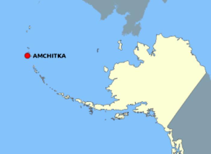
| Keywords: AmchitkaAlaskaLoc.png This map is a derivative work of a map layer from nationalatlas gov which states We have begun by collaboratively building frameworks the essential map layers that provide a foundation for all other maps These basic layers including small-scale harmonized information on North American roads water boundaries and the like are being offered here for the first time Like all other raw data and documentation offered here on nationalatlas gov these frameworks can be downloaded at no cost and used freely without copyright concerns or license restrictions http //nationalatlas gov/ I donate the modifications and the resulting work to the public domain PD-USGov original upload log page en wikipedia AmchitkaAlaskaLoc png 2006-10-08 16 15 Jakew 300×219×8 14678 bytes <nowiki>This map is a derivative work of a map layer from nationalatlas gov which states We have begun by collaboratively building frameworks the essential map layers that provide a foundation for all other maps These basic layers including small-scale ha</nowiki> Amchitka Island | ||||