MAKE A MEME
View Large Image
| View Original: | Air massif sat map south.png (338x426) | |||
| Download: | Original | Medium | Small | Thumb |
| Courtesy of: | commons.wikimedia.org | More Like This | ||
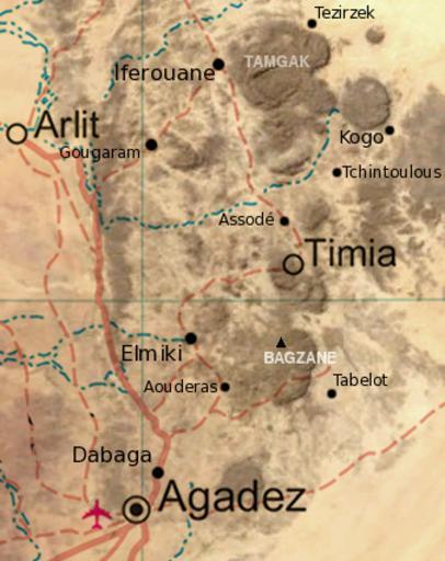
| Keywords: Air massif sat map south.png Map of the southern half of the Air Massif northern Niger Created from an overlay of PD File Un-niger png and PD File Niger_BMNG png plus map locations derived from fallingrain com Niger_BMNG png 2008-12-17 19 29 UTC derivative work T L Miles <span class signature-talk >talk</span> Niger_BMNG png US Gov/NASA PD Overlay of two images scale add locations names T L Miles <span class signature-talk >talk</span> 19 31 17 December 2008 UTC Niger_BMNG png original upload log This image is a derivative work of the following images Image Niger_BMNG png licensed with PD-WorldWind 2006-04-26T18 55 04Z Hautala 2427x1919 3901170 Bytes <nowiki> PD-WorldWind Satellite image of Niger in September 2004 Screenshot from NASA World Wind Blue Marble Next-Generation layer Satellite images of countries</nowiki> Uploaded with derivativeFX Maps of Niger Aïr Mountains Arlit NASA World Wind | ||||