MAKE A MEME
View Large Image
| View Original: | Aerial_view_of_Martinez,_Mountain_View_in_California.jpg (3264x2448) | |||
| Download: | Original | Medium | Small | Thumb |
| Courtesy of: | www.flickr.com | More Like This | ||
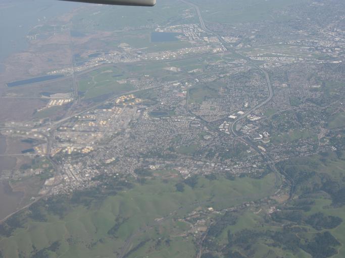
| Keywords: aerial outdoor Highway going from top to bottom is route 4 (John Muir Pkwy). Reservoir in top center is Mallard Reservoir. Mountain View on left, Martinez in center. I-680 is also visible going off the lower-left. CC0 waiver: To the extent possible under law, I waive all copyright and related or neighboring rights to this work. Highway going from top to bottom is route 4 (John Muir Pkwy). Reservoir in top center is Mallard Reservoir. Mountain View on left, Martinez in center. I-680 is also visible going off the lower-left. CC0 waiver: To the extent possible under law, I waive all copyright and related or neighboring rights to this work. | ||||