MAKE A MEME
View Large Image
| View Original: | A_Map_Of_The_State_Of_Pennsylvania_by_Reading_Howell,_1792_crop1.png (900x675) | |||
| Download: | Original | Medium | Small | Thumb |
| Courtesy of: | commons.wikimedia.org | More Like This | ||
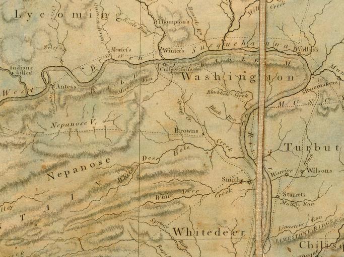
| Keywords: A Map Of The State Of Pennsylvania by Reading Howell, 1792 crop1.png White Deer Hole Creek Originally 94 cm by 162 cm with a scale of 1 310000 For more information and the complete file in sid see the online source http //www davidrumsey com/maps6528 html http //www davidrumsey com/maps6528 html Published by James Phillips scanned by the http //www davidrumsey com David Rumsey Collection Reading Howell 1792-08-01 Image A Map Of The State Of Pennsylvania by Reading Howell 1792 jpg PD-old-100 White Deer Hole Creek Old maps of Pennsylvania 1792 maps David Rumsey Historical Map Collection | ||||