MAKE A MEME
View Large Image

| View Original: | 2008PresMap.svg (958x592) | |||
| Download: | Original | Medium | Small | Thumb |
| Courtesy of: | commons.wikimedia.org | More Like This | ||
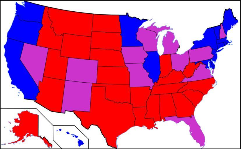
| Keywords: 2008PresMap.svg Based on commons Image Blank_US_Map svg and Image 2008PresMap png but using information from en wikipedia FSII CommonsHelper 2008-05-25 Zhorken wikipedia en SteveSims July 2008 Original upload log page en wikipedia 2008PresMap svg 2008-05-25 08 52 Zhorken 959×593× 175919 bytes <nowiki>Based on commons Image Blank_US_Map svg and Images 2008PresMap png but using information from United_States_presidential_election 2C_2008 Potential_battleground_states </nowiki> Political maps of the United States | ||||