MAKE A MEME
View Large Image
| View Original: | 1939 The Hague city map.png (2357x2040) | |||
| Download: | Original | Medium | Small | Thumb |
| Courtesy of: | commons.wikimedia.org | More Like This | ||
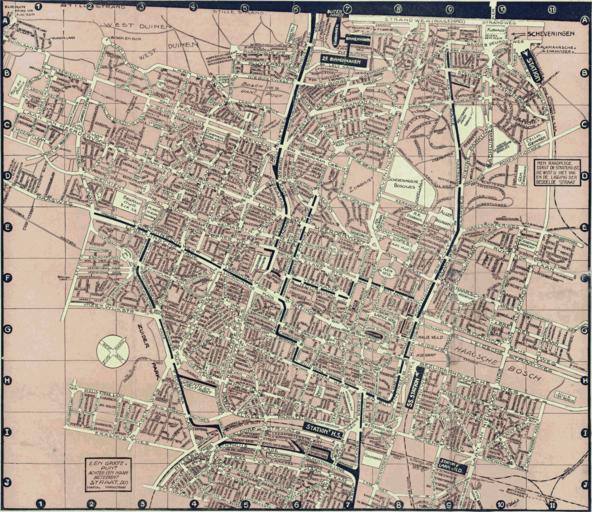
| Keywords: 1939 The Hague city map.png nl Haagsche wegwijzer bevattende zeer overzichtelijke plattegrond 1939 en 1939 map of the city of The Hague de 1939 Stadtplan von Den Haag fr 1939 carte de la ville de La Haye 1939 http //imagebase ubvu vu nl/cdm/ref/collection/krt/id/5995 Universiteitsbibliotheek Vrije Universiteit Wilschut Utrecht other versions cc-zero Uploaded with UploadWizard Old maps of The Hague 1939 in The Hague Images from Universiteitsbibliotheek Vrije Universiteit Amsterdam | ||||