MAKE A MEME
View Large Image
| View Original: | 1874_Mitchell_Map_of_Ontario,_Canada_-_Geographicus_-_Ontario-m-1874.jpg (3000x2384) | |||
| Download: | Original | Medium | Small | Thumb |
| Courtesy of: | commons.wikimedia.org | More Like This | ||
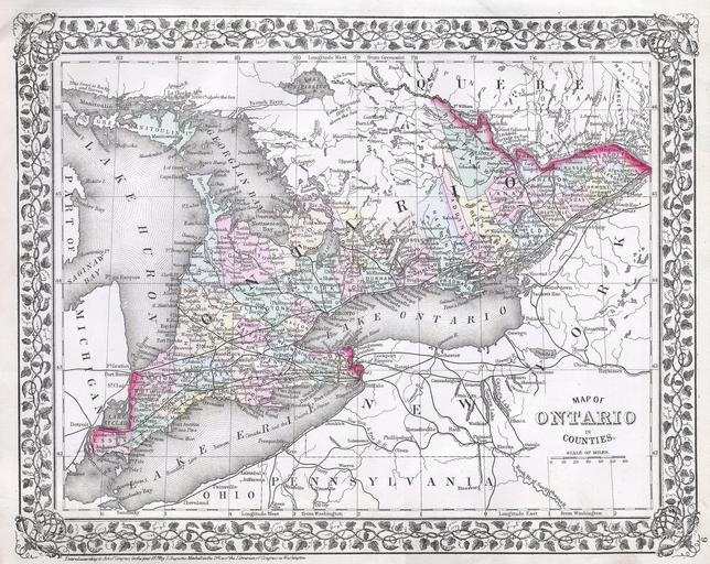
| Keywords: 1874 Mitchell Map of Ontario, Canada - Geographicus - Ontario-m-1874.jpg This hand colored map is a lithographic engraving dating to 1874 by the legendary American Mapmaker S A Mitchell the younger It represents the Canadian province of Ontario and includes Lake Erie Lake Huron and Lake Ontario in full 1874 Size in 14 11 object history credit line accession number Ontario-m-1874 Geographicus-source PD-old-100 Maps by Samuel Augustus Mitchell Historic maps of Ontario 1874 maps of Canada | ||||