MAKE A MEME
View Large Image
| View Original: | 1870_Erhard_Map_of_Paris_and_Vicinity,_France_-_Geographicus_-_Paris-erhard-1870.jpg (4000x3084) | |||
| Download: | Original | Medium | Small | Thumb |
| Courtesy of: | commons.wikimedia.org | More Like This | ||
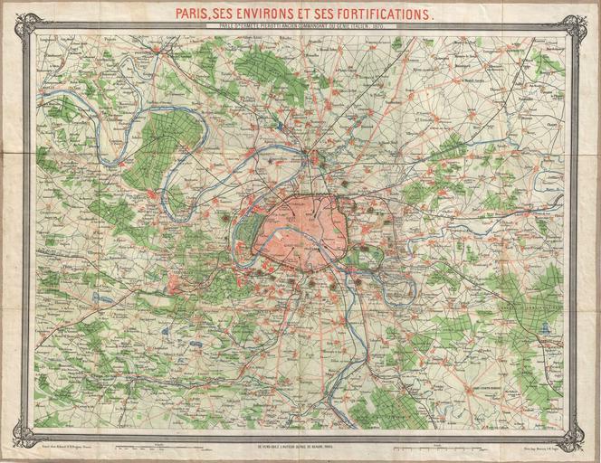
| Keywords: 1870 Erhard Map of Paris and Vicinity, France - Geographicus - Paris-erhard-1870.jpg An unusual 1870 map of Paris France and its vicinity by Dr Ermete Pierotti Centered on Paris this map covers the region from Longuesse to Solers and from Cernay to Marchemoret Identifies countless towns cities forests and chateaux including Versailles Identifies rail lines roadways and local political divisions as well Lithograph color 1870 dated Size in 27 5 21 5 object history credit line accession number Paris-erhard-1870 Geographicus-source PD-old-auto 1875 Maps of Paris in the 19th century 19th-century maps of Paris 1870 maps 1870 in Paris | ||||