MAKE A MEME
View Large Image
| View Original: | 1864_Garnier_Map_of_Pairs,_France_w-Monuments_-_Geographicus_-_Paris-garnier-1864_(cropped).jpg (578x575) | |||
| Download: | Original | Medium | Small | Thumb |
| Courtesy of: | commons.wikimedia.org | More Like This | ||
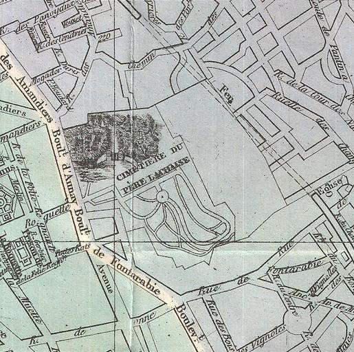
| Keywords: 1864 Garnier Map of Pairs, France w-Monuments - Geographicus - Paris-garnier-1864 (cropped).jpg An extremely attractive map of Paris France issued in 1864 by the Garnier Freres Covers the old walled city of Paris and the immediate vicinity Important buildings are shown in profile All major streets are identified Color coded according to arrondissements The four corners are occupied by a street index The Coat of Arms of Paris appears in the upper right and left quadrants 1864 dated Size in 25 19 object history credit line accession number Paris-garnier-1864 Geographicus-source PD-art 1864 Garnier Map of Pairs France w-Monuments - Geographicus - Paris-garnier-1864 jpg ~Pyb cropped Maps of the Père-Lachaise Cemetery 1864 Père-Lachaise Cemetery in the 19th century 1864 | ||||
.jpg)