MAKE A MEME
View Large Image
| View Original: | 1862_Johnson's_Map_of_New_York_State_-_Geographicus_-_NY-j-62.jpg (3000x2057) | |||
| Download: | Original | Medium | Small | Thumb |
| Courtesy of: | commons.wikimedia.org | More Like This | ||
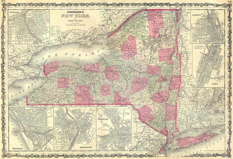
| Keywords: 1862 Johnson's Map of New York State - Geographicus - NY-j-62.jpg This hand colored map is a steel plate engraving dating to 1862 by the legendary American mapmaker A J Johnson It depicts the state of New York There are inset maps of Buffalo Rochester Syracuse Oswego Albany Troy and of course New York City This map is exceptionally rare as it come from the 1862 edition of Johnson ™s Atlas “ one of the first and rarest 1862 Size in 23 17 5 object history credit line accession number NY-j-62 Geographicus-source PD-old-100 Maps by Alvin Jewett Johnson 1862 maps Old maps of New York | ||||