MAKE A MEME
View Large Image
| View Original: | 1861_Johnson_Map_of_Mississippi,_Louisiana_^_Arkansas_-_Geographicus_-_AKLAMI-j-62.jpg (2851x4000) | |||
| Download: | Original | Medium | Small | Thumb |
| Courtesy of: | commons.wikimedia.org | More Like This | ||
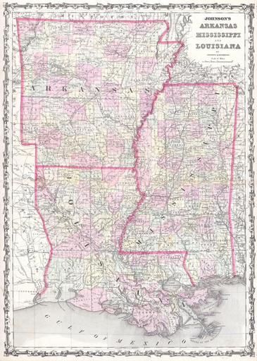
| Keywords: 1861 Johnson Map of Mississippi, Louisiana ^ Arkansas - Geographicus - AKLAMI-j-62.jpg This is Johnson and Browning ™s 1861 map of Louisiana Arkansas and Mississippi Covers the states divided into counties with special attention to transportation especially roads railroads and canals Offers wonderful detail around New Orleans and the Mississippi Delta Features the ribbon style border common to Johnson ™s atlas work from 1860 to 1862 Steel plate engraving prepared by A J Johnson for publication as plates no 37 and 38 in the 1861 edition of his New Illustrated Atlas ¦ This is the last edition of the Johnson ™s Atlas to bear the Johnson Browning imprint 1861 undated Size in 17 5 24 5 object history credit line accession number AKLAMI-j-62 <i>Johnson's New Illustrated Steel Plate Family Atlas</i> 1861 Johnson and Browning edition Geographicus-source PD-old-100 Maps by Alvin Jewett Johnson 1861 maps Old maps of Arkansas Old maps of Louisiana Old maps of Mississippi | ||||