MAKE A MEME
View Large Image

| View Original: | 1852_Levasseur_Map_of_France_-_Geographicus_-_France-levasseur-1852.jpg (3500x4021) | |||
| Download: | Original | Medium | Small | Thumb |
| Courtesy of: | commons.wikimedia.org | More Like This | ||
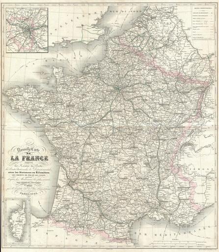
| Keywords: 1852 Levasseur Map of France - Geographicus - France-levasseur-1852.jpg This is a folio format map of France issued with Victor Levasseur's 1852 Atlas National Illustre Covers all of France as well as adjacent parts of Italy Span and England Shows all Departments as well as postal routes major cities rivers and roadways Indicates mileage between most towns Additionally shows ferry and shipping routes in the Mediterranean and in the English Channel An inset in the lower left quadrant focuses on Corsica A second inset in the upper left quadrant details the vicinity of Paris 1852 dated Size in 21 24 object history credit line accession number France-levasseur-1852 Levassuer V <i>Atlas National Illustre des 86 Departements et des Possessions de La France Divise par Arrondissements Cantons et Communea avec La Trace de Toutes Les Routes Chemins de fer et Canaux </i> 1852 edition Geographicus-source PD-old-100 Victor Levasseur - Maps of France Old maps of France 1852 maps Maps of Paris in the 19th century 19th-century maps of Paris Maps in French Postal route | ||||